After
rounding Cape Londonderry and then Cape Talbot we sailed into a large gently
shoaling bay known unofficially as Bruce’s Bay. Anchored near us was the
catamaran we saw leaving the King George River several days earlier. Kevin
and Janie from “Sojourn” came to our boat to warn us that sadly we should not
go for a walk along the lovely beach, as a large 4m crocodile had come ashore
just near where they had gotten back into their dinghy. That afternoon there
were Manta Rays, dolphins and turtles in the bay. We were not that game to get
in our slow moving inflatable dinghy with that crocodile around so instead we
stayed safely on-board and did see the turtles and the dolphins.
 |
| The Governor Islands. |
Because we were heading in the same direction as Kevin and Janie, we spent the next six days sailing together, from Bruce’s Bay, down Napier Broome Bay to the pretty Governor Islands for a few days, and then further south again to Mission Cove.
 |
| "Sojourn" at Mission Cove". |
Mission Cove turned out to be a very pretty and safe anchorage and one we originally did not think we would be able to get into. But following Kevin and Janie we found safe passage and a deep hole in which to anchor.
In the south east of the bay there is a small creek that leads up to a beach (low tide) which you can land on and then go for a walk to the ruins of the Pago Mission. This site was settled in 1906 by the Benedictine Monks but later abondoned for a better site 30 km away, known as Kalumburu. After several days fishing, and having BBQ’s and sundowners on the numerous beaches of Mission Cove, we parted company. Kevin and Janie were headed back to the Drysdale River for a few days and then east to Wyndham, to pick up friends.
We on the
other hand were headed west across Napier Broome Bay. We decided not to stop at Butterfly Bay (a small settlement) and McGowan's Beach, as we didn't require any fuel or provisions as yet. Boats are able to get diesel for about $3.00/L right off the beach at McGowans after notifying them in advance. Luckily Kevin and Janie radioed them that morning and were able to organise fuel within the hour. You can also organise someone from McGowan's Beach to take you the 21 km into Kalumburu via a dirt track to the town market for about $200 return, we were told. Nothing is cheap in the Kimberley. With luck, you might catch a ride with someone staying at the campground into town. This is the only market in the Kimberley other than Wyndham or Derby. No doubt we would be visiting this store on the way back to Darwin, as it would be harder and more expensive to go to either Derby or Whydham.
We were eager to cross Napier Broome Bay and neighbooring Vansitart Bay before the predicted high winds arrived. So we left the anchorages in West Bay and Sir Graham Moore Island (Peter renamed it – the Sir Peter Moore Island) for when we would return. Both these bays were exposed to the predominant SE winds and swell anyway and would not be very pleasant at this time of year, so we stayed on the west side of the Anjo Peninsula.
The next morning we had to pass through a fast flowing very narrow passage between Mary Island/mainland and the Eclipse Archipelago/reef, or take 24 hours to go the long way around the archipelago/reef. A lot of water from the two very large bays has to flow through this narrow opening, so once the tide turns, as you can imagine the flow can get very fast. So to avoid this we set off from the nearest anchorage west of the Anjo Peninsula near Sir Graham Moore Island at 3 am and motored for 2 hours to get to the channel. By the time we arrived it was dawn, there was no wind and it was slack tide, the calmest conditions we could expect that day. The crossing was at first hairy, when we didn’t know what to expect but proved harmless when it turned out to be calm. The wind turned up just as we got through and we were able to quickly sail the rest of the way across Vansittart Bay and into one of the best anchorages on the Kimberley coast, Freshwater Bay.
On our arrival there were three familiar boats anchored around us – Melita (David and Lyndell), Liquidity II (Robin and Greg) and Esoterica (Kerrin and John), all boats from Darwin. The night we arrived turned out to be a series of stunning sunsets, due to ash in the atmosphere. We later found out that an Indonesian volcano had recently erupted and for the next few weeks we were forever cleaning pinkish grey sediment off the deck of our boat.
 |
| "Liquidity II" at anchor in Freshwater Bay. |
 |
| The Tawny Nurse shark patrol. |
The next day another few yachts arrived as the weather was turning nasty. A large high pressure system had formed and had centred itself over the Great Australian Bight. The pressure got as high as 1035 Hpa and we had gale force winds 25 – 35 knots for the next ten days.
 |
| Sundowners onboard "Melita" (John & Kerrin). |
It didn’t bother us all that much as we were safe in a sheltered harbour but it did cause a lot of boredom for all concerned. We filled in the time with BBQ’s on the beach, fishing, swimming in the rock pools, and every one took a turn hosting an afternoon tea, dinner or sundowners on their boat. You could say we were all firm friends by the time we went our separate ways.
After being stuck for ten days Peter and I realised that we had two choices. Firstly, turn around in a couple of weeks time and return to Darwin as planned or take our time and get to see the Horizontal Falls and Montgomery’s Reef, in the western Kimberley. We eventually decided to take our time and stay longer than the planned two months as we thought that we may never get another opportunity to come back. However, staying for up to four months then committed us to going all the way to King Sound and down into Derby for food, gas and fuel. Not something we particularly looked forward to.
 |
| David and Lyndell. |
Lyndell and David, from "Melita", were also heading west and in the same direction as us, so we teamed up together. It was great to have some company along the way plus they had been to the Kimberley in 2013 and knew all the best sights to see.
We all left Freshwater Bay together but Melita quickly overtook us and arrived in Parry
Harbour by lunch time. We on the other hand sailed around and arrived by dinner. This was to become the pattern whenever we travelled to the next destination together. They could just go and motor there quickly but we were subject to the whim of the wind gods.
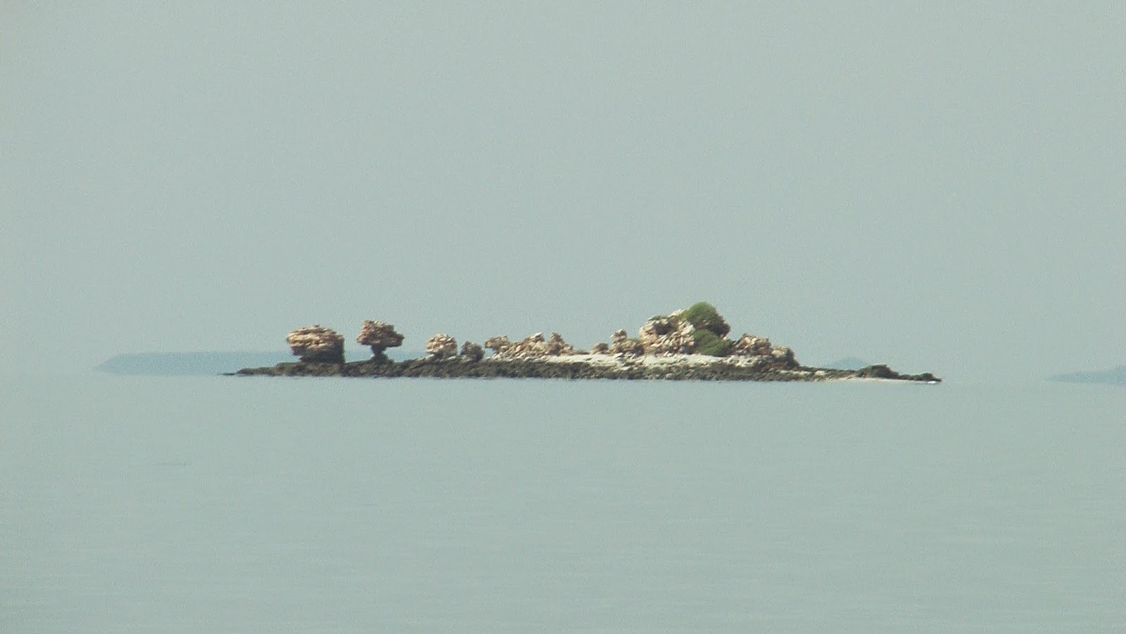 |
| Numerous islets, Admirality Gulf. |
 |
| Bradshaw paintings, Swifts Bay. |
After Parry Harbour, we sailed across Admirality Gulf to the Low Rocks rather than go south to the Osbourne Islands. We were planning to stay four days or so at the Osbourne's on the way back. We were to anchor at La Fontaine Island for the night but because the weather was so benign it made perfect sense to keep going, so we motored around the notorious Cape Voltaire, and into Montague Sound. Voltaire Passage is known for it's confused waters and numerous overfalls, but we had come on a perfect day and only had to contend with the strong current.
 |
| Banded sandstone, NE corner Swifts Bay. |

We spent the time taking the tinnie into every small bay in the eastern cove and traversing the dry and rough but starkly beautiful landscape. We wandered over wonderful rock formations and pretty deserted beaches. We also had some lovely evenings watching the sunset over sundowners and dinner.
 |
| The nest of a Sea Eagle. |
We took the tinnie up a small southern creek in the eastern circular cove of Swifts Bay. Two hours later after climbing over numerous sandstone rocks and squeezing ourselves through small holes we were finally rewarded with some spectacular Bradshaw paintings. Thank goodness we found the express path on our way out. Oh well, we needed the exercise.
 |
| Salt anyone? |
 |
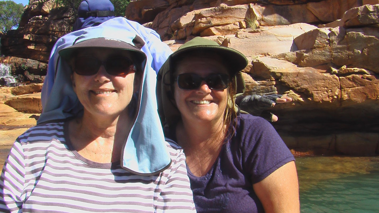
| Lyndell and Denise. |
We left the exploration of the West Bay and Southern arms of Swifts Bay, for when we returned.
 |
| Melita and Reverie at anchor in Swift Bay, Montague Sound. |
When the wind finally died down a bit we moved over to the next large bay taking the short cut, south of Katers island and then north of Wollaston Island, and into South Montague Sound. Most of South Montague Sound is unchartered territory as it has not been surveyed.
 There are a few sailing 'mud maps' around and you just have to try to follow exactly the same path these boats have traversed. These maps are very rough guides at best, so you need to take it very slowly and entering at low tide is preferable. This way it helps to pick out most obstacles and if the bay shallows out too quickly you can wait for the incoming tide to save you.
  |
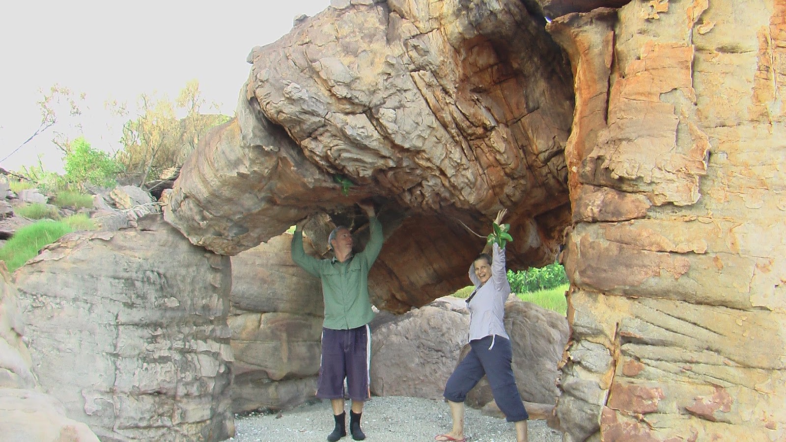
| Lyndell checking out the scenery. |
Even doing this, it can be very nerve racking. While Peter slowly motored down into the bay, I kept a very close eye on our depth, calling out any big changes.
Melita had already long ago passed us and it wasn't until we were down into the lower reaches of the Sound and past Palm Island that we could see a boat in the distance. This was reassuring as we knew if they could get into the bay safely then we could too. Finally we were able to make radio contact and they provided the safest route and confirmed the depths were indeed favourable.
 |
| The Flinstone's???? |
South Montague Sound ended up being a most favourable and pretty anchorage. The rock formations on the eastern shore were so weathered they provided some great photographic opportunities.
 |
| Barney and Fred's homes? |