 |
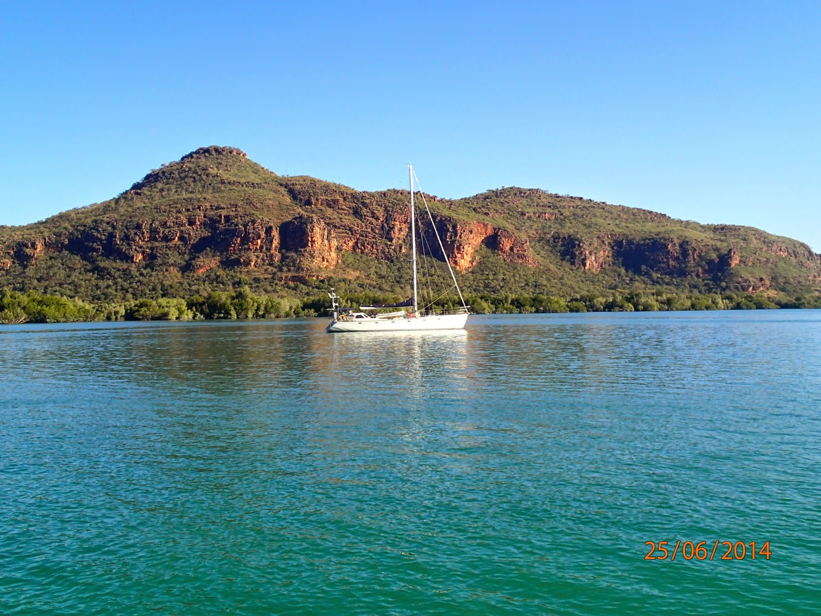
| Heading south in Prince Fredrick Sound. |
Again the weather forecast was predicting a few windy days of 25 to 30 knots of trade winds so we all decided that the Hunter River would be the place to hole up while the wind blew.
 |
| Escarpment of Lower Prince Fredrick Harbour. |
Waiting
for the winds to arrive every morning was our usual pattern, when we were on
the move. Generally in the Kimberley, the winds would start anytime between
about 6 and 10 am, but mostly by 7 or 9 am every morning. They would also
predictably be from the South to East quadrant, at this time of year and would be
the strongest in the morning decreasing through the day. They would then often die
down in the evening and almost peter out to nothing overnight. So it was a real
diurnal pattern and one we really liked. It allowed a good night's sleep and if
the winds started before our usual rising time then the wind generators would
kick in and wake us up, so we could get going for the day. Having said that
sometimes the weather would change unpredictably and upset the apple cart, but
on the whole we couldn't complain.
We set
out at 7am and had a good sail down Prince Fredrick Harbour towards the mouth
of the Hunter River. About 4pm the winds decreased so we motored the last hour
or so. We knew we would not be able to enter the unchartered Hunter River in
the dark. The rule of thumb in the Kimberley is that you make passage through
the day and be anchored by the time the sun goes down. The Kimberley is
extremely dangerous because of tides up to 12m, strong currents in the Sounds
or through narrow passages and unknown hazards under the waterline. In addition
a lot of the Kimberley coast is unchartered or at best inadequately surveyed,
so having daylight is often preferred by most sailors, unless of course you are
off-shore and in deep water.
 |
| Naturalist Island at dusk. |
So we anchored on the north-west side of Naturalists Island just as the sun was setting. This is a very pretty spot and was named because of a team of naturalists, that had previously visited the island. Though we were only stopping for the night and would check out the island on our return.
 |
| Twin peaks. |
The next morning we motored the last hour down to the bottom of Prince Fredrick Harbour, York Sound and into the mouth of the Hunter River. The river itself is very large and wide and is conspicuous given the landscape changes from undulating lands to an escarpment. At the mouth there is a tall twin rock formation that is truly stunning. You need to enter Porosus Creek mid channel and do not cut either corner as the water shallows significantly due to sand bars.
 |
| Reverie at anchor, Porosus Creek. |
The Hunter River has to be one of the scariest places we visited in the Kimberley. While it is a pretty, sheltered anchorage and well recommended, the disconcerting thing is that you are constantly surrounded by crocodiles. You may say so what there are crocodiles everywhere in the Kimberley and that is true. You do see them occasionally lazing on beaches and even when you don’t see them you still know they are there.
 |
| Our afternoon stalker. |
However, in the Hunter and its tributary, Porosus Creek (Crocodylus porosus, common name Australian Saltwater Crococdile) the population of crocodiles is huge. They all lie along the drying banks, catching and eating food or sun baking, at low tide. Then in the afternoon they sit around the back of your boat watching you. They take turns patrolling around the boat and then at night you hear them as they fight for the right to stake out your boat.
 |
| Porosus Creek, evening visitor. |
Yes, the river is saturated with them and they are stalking you, waiting for that opportunity when you make a mistake or get too close. It is really unnerving as it is a rare situation when humans feel and know they are on the menu. David and Lyndell counted thirteen crocodiles one evening around their boat. Admittedly they were catching and cleaning fish on previous days, but still that is a huge concentration.
 |
| Port Nelson mainland, old Lava field. |
After five days it was a relief to finally leave the Hunter River and return to pretty Naturalists Island. We all spent a lovely day checking out the north-west beach, fossicking for shells and generally lazing around. Apparently this beach is frequently used by charter boats to take passengers by helicopter to an isolated airstrip on the Mitchell Plateau.
The next day we left early and sailed all the way across York Sound, in a north-westerly direction. It was a long day and as the wind died we managed to motor around Hardy Point and into charted Port Nelson, before the last of the light faded. It is at this latitude where you start to encounter Whales. Southern Right and Humpback Whales migrate from Antarctica, across the Southern Ocean and up along both the Eastern and Western Australian coastlines to breed and give birth. On the west coast they spend 'the winter' (May to October) lolling around the tropical central and southern Kimberley coastline, up to 15 degrees south. Port Nelson is one of their favourite haunts.
 |
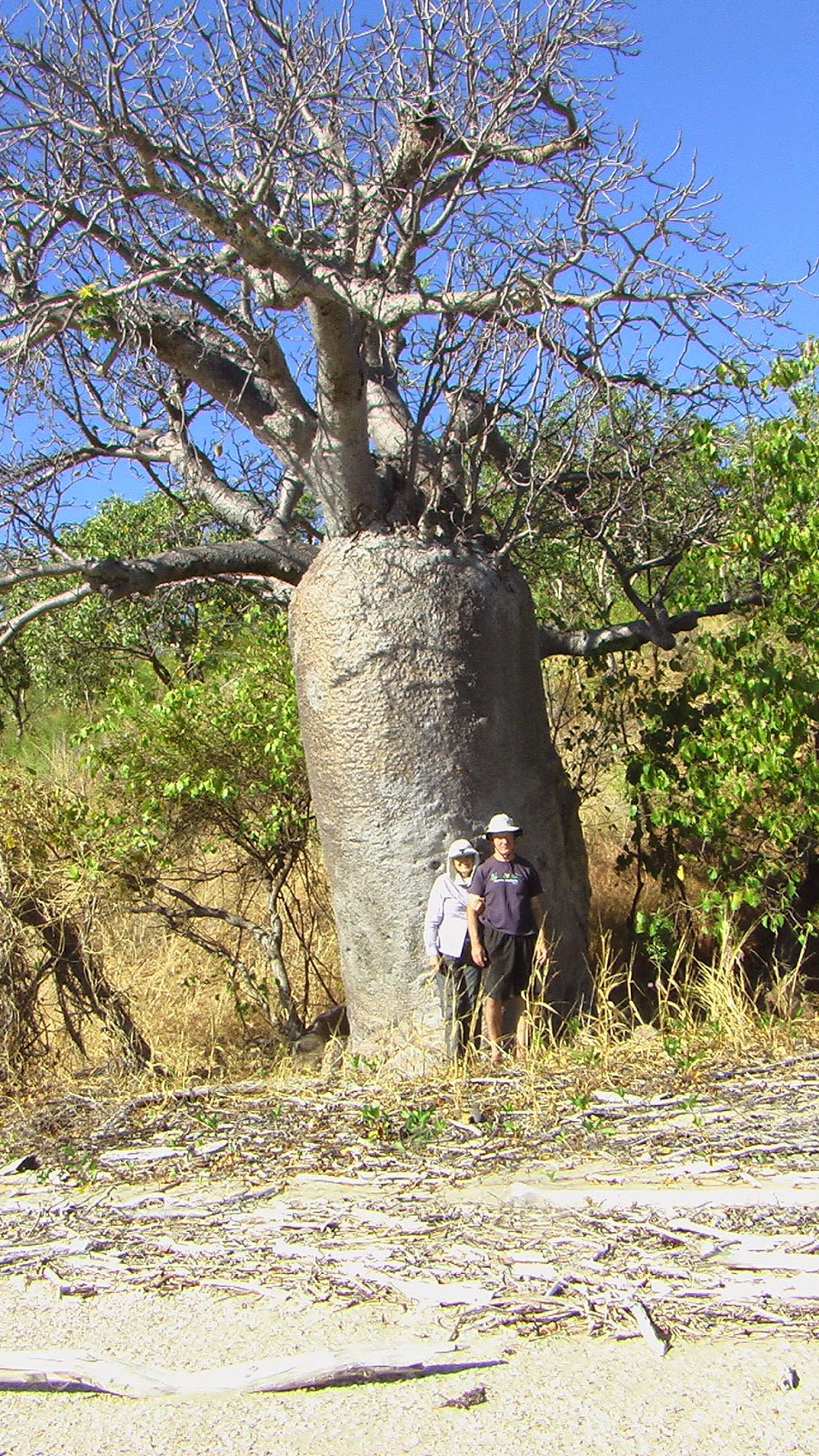
| Our first Boab. |
 |
| 'Dollar' shells. |
 |
| Boab fruit. |
Sadly Lyndell and David had come to the end of their time in the Kimberley and had to return to Darwin. They were going to spend a few days fishing around Coronation Island, then it would be off to the Maret and Prudhoe Island groups, for a few days before returning to Darwin. Back in Darwin they would take one week or so to reprovision the boat before slowly cruising the northern and eastern coast of the Northern Territory, and lastly crossing the Gulf of Carpentaria. They were hopeful of being able to put the boat into either the Port Douglas or Cairns Marina, for the upcoming 2014/2015 cyclone season. It was very sad to see them go, as we had become very close and we knew we would miss them.


No comments:
Post a Comment